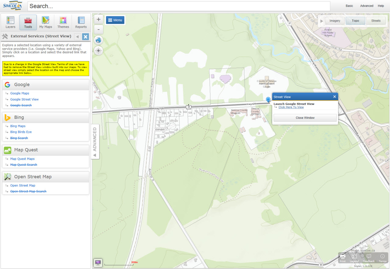
External Services (Street View)
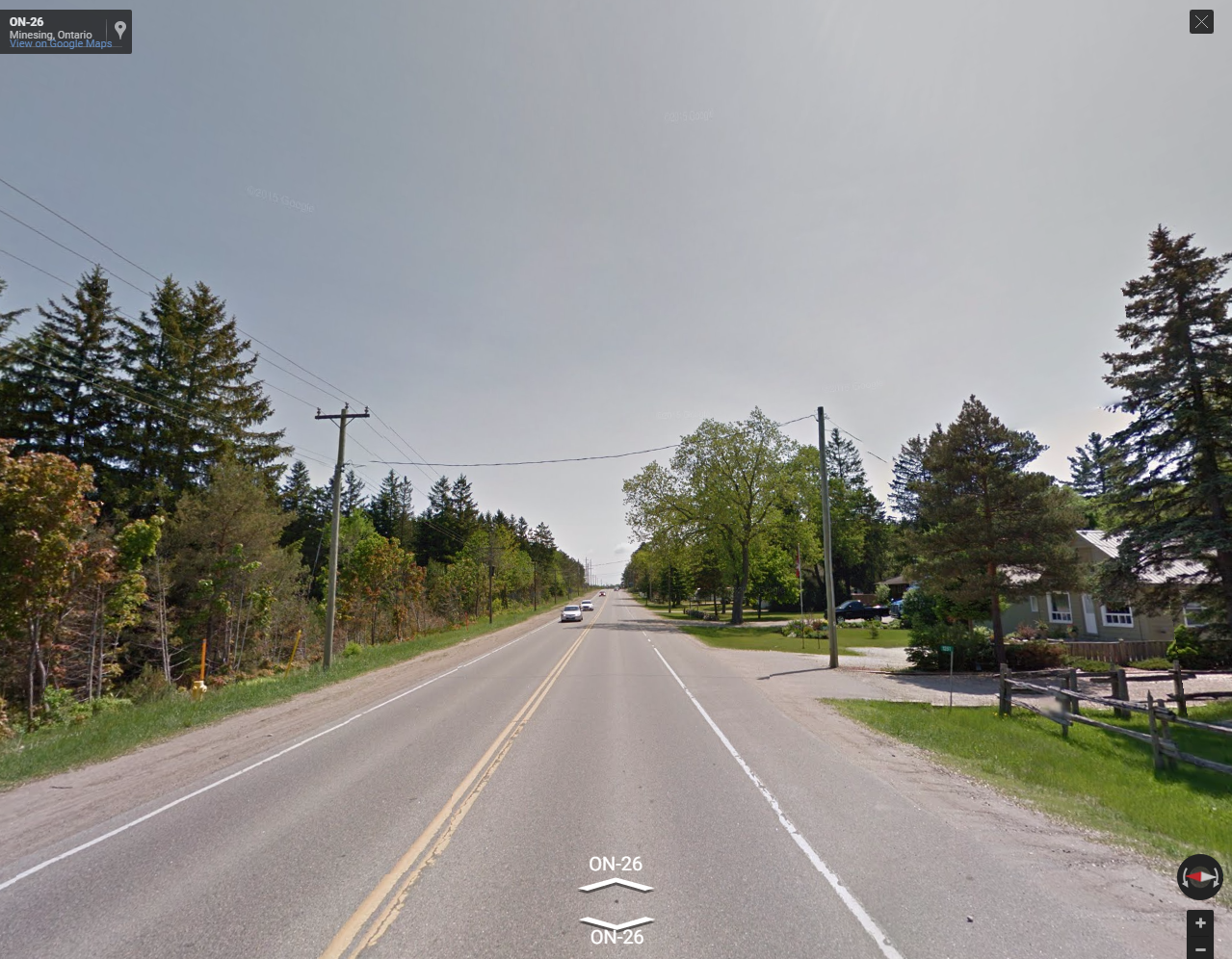
Due to a change in the Google Street View Terms of Use we have had to remove the Street View window built into our maps. To view street view simply select the location on the map and choose the appropriate link below.The 'Street View' tool allows users to see a 360 view of specific point on the ground. Clicking on the yellow man and then proceeding to click on a specific section of road you will be able to see the surrounding features in the area based on a snapshot in time. The tool will also show the location on google maps as well as the longitude and latitude (x, y) coordinates of the specific location your viewing.
You can toggle between full screen view by clicking the full screen button and the “X” button on the top right part of the street view screen or by pressing the escape key.
If there isn’t any street view images available for a specific location the tool will let you know.