Frequently Ask Questions
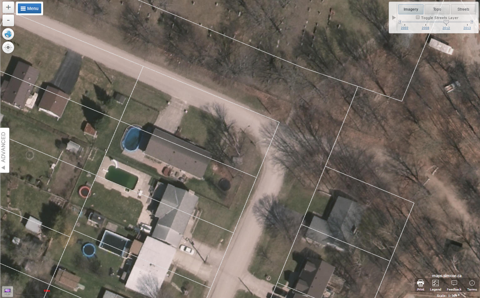
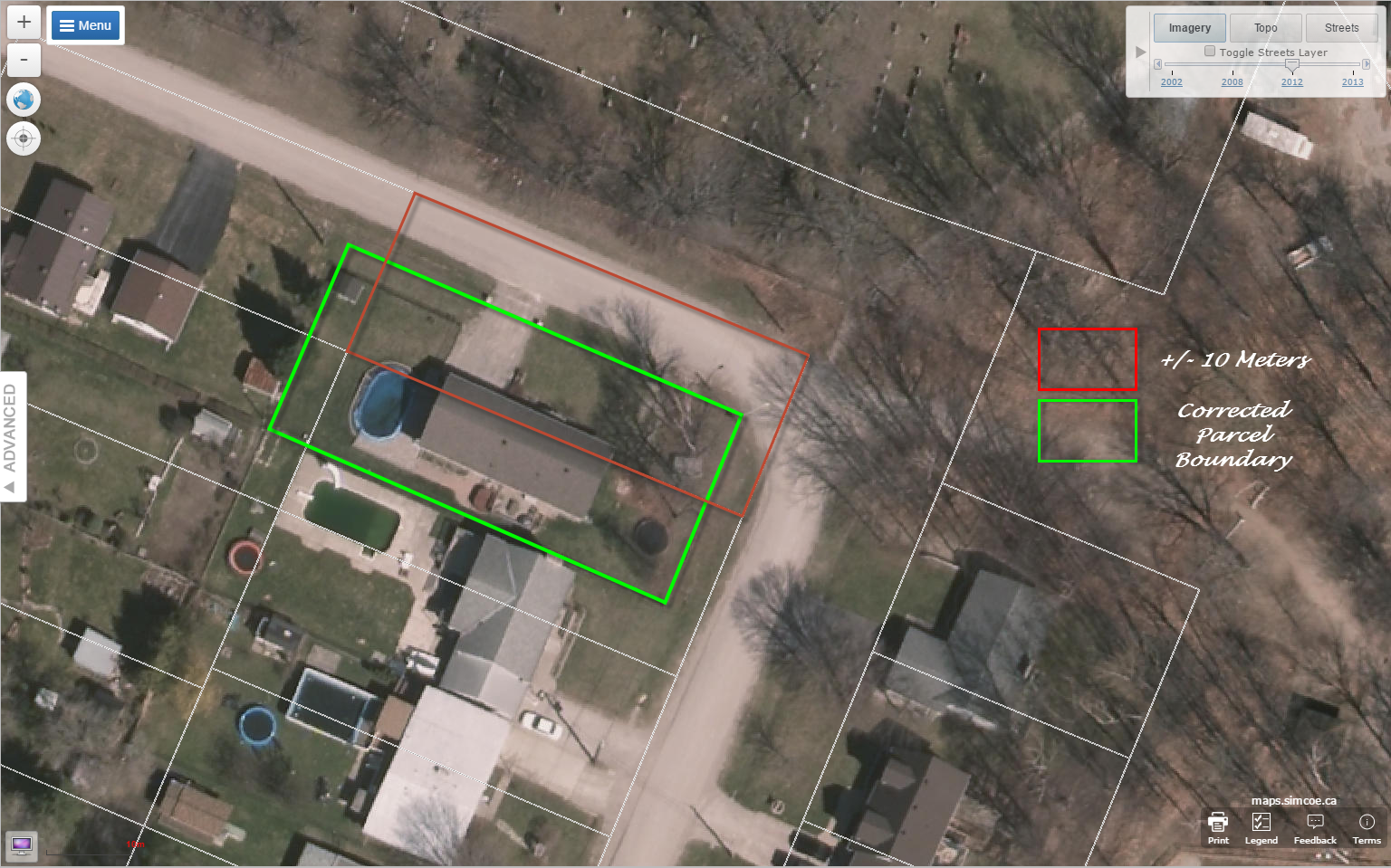
Question: Why aren't the parcels lining up?
- We obtain our assessment parcel data is from Teranet. In rural areas the assessment parcels can be off by as much as +/-10 meters. The discrepancies in the assessment parcels are due to an automation process that was completed in the past, where urbanized areas had more accurate data comparatively to rural areas.
- Also, assessment parcels are used for taxation and do not always represent the 'real’ property as it is surveyed and registered for ownership. Assessment parcels should never be compared to a survey. Please use the advanced view and switch off assessment parcels in the table of contents and switch on ownership parcels if you are concerned with property boundaries that are tied to land title or ownership.
- Obtaining a plan of survey and possibly hiring a Surveyor and/or Lawyer may be necessary if you are wanting an accurate legal understanding of the parcel boundaries for a property.
- The data on our website has limitations as stated in our terms and conditions.
Question: What are crown lands and what can I do on them? Why are they overlapping water?
- Are lands owned by the Crown and designated as crown land within the County of Simcoe. This dataset is provided and maintained by the Ontario Ministry of Natural Resources and Forests. This information is updated annually from MNRF.
- Here is a link to Crown Land Regulations written by MNR: https://www.ontario.ca/page/crown-land
- We are currently working to revise the crown lands.