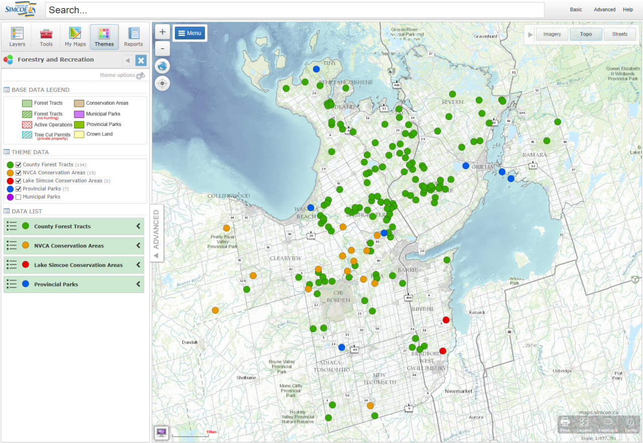
Forest and Recreation
- Users can turn on and off the live layers (county forest tracts, conservation areas, provincial parks and municipal parks).
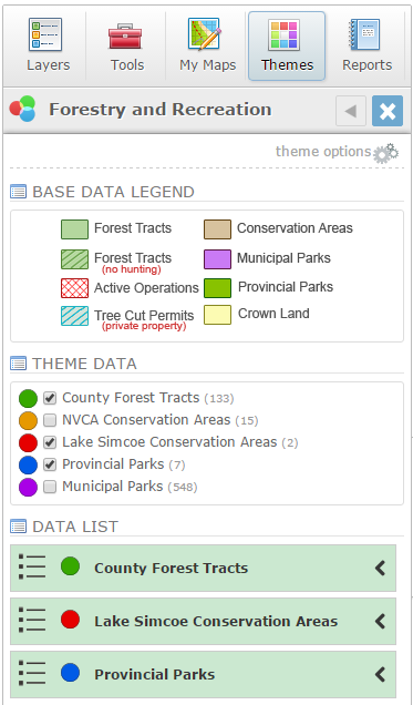
- Click the check mark beside the layer in the table of contents to turn on and off the data.
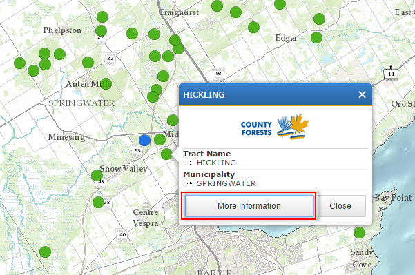
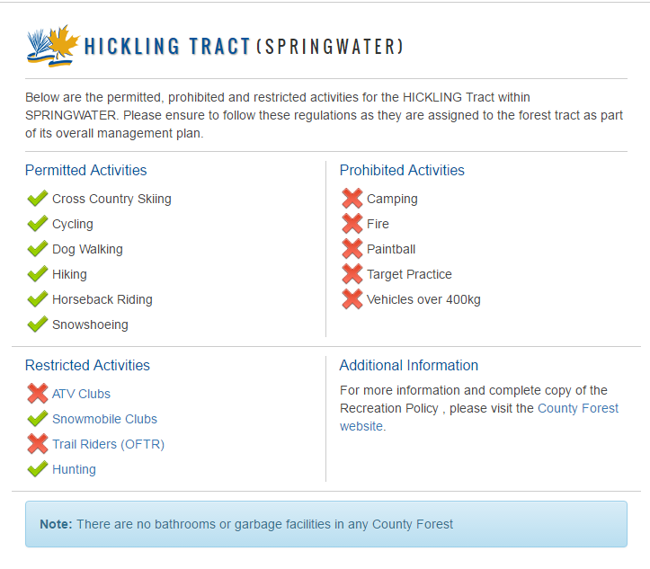
- Click on the layer symbol in the map to see more information for each individual item.
- The list of data can be refined by clicking on the 'Theme Options' section at the top of the themes table of contents. In the theme options section, the data list can be filtered by what is visible on the screen and the forest/recreation boundaries can be turned on/off.